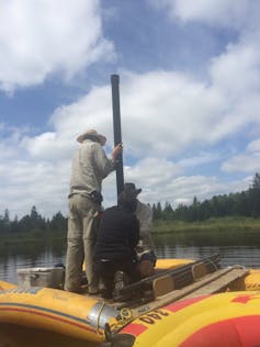
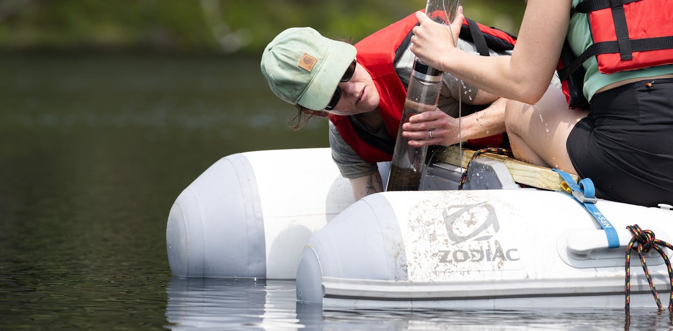
Sediments are more than just layers of mud on the ground. They can reveal a wealth of information about landscapes from millions of years ago right up to the present day. To delve into those layers, scientists like me collect samples by sediment coring in peat bogs, lakes, saltmarshes and deep oceans.
This involves inserting specialist coring equipment with tubing or a chamber to collect the sediment, and then pulling it out of the ground and taking it away for further analyses. Depths of cores vary from a few meters to hundreds of meters.
The sediment colour and composition of each layer in the samples can show what the past climate was like. Dark, organic materials suggest a warm and wet climate. Lighter sediments made up of more minerals and less organic matter suggest a cold and dry climate.
However, analysis is not that simple. There are other things in the sediments to consider such as microfossils (microscopic fossils), including pollen and algae known as diatoms.
Pollen – yes, the stuff that makes you sneeze – can be used to reconstruct plant histories. The plants that grow in the soil show how climates have changed. During past glaciations much of the northern hemisphere was covered in ice.
As vegetation shifted south in response to this, places like the Mediterranean were a glacial refugia. These areas remained ice free during ice ages and allowed plants and trees to grow that were once more widespread.
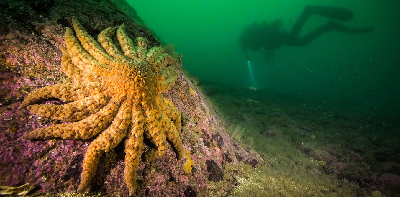
Diatoms are single-celled algae that photosynthesise and live in water. They are essential to life producing 20-30% of the oxygen we breathe. There are more than 200,000 different species of diatoms, and they all have specific habitat conditions so they can tell us about past climates and aquatic environments.
Joanne Egan, Author provided (no reuse)
Not only can these sediments reveal information about past climates, but also that, thousands of years ago, floods, hurricanes, tsunamis and volcanic eruptions occurred on larger scales and in unexpected places.
With recent floods in Valencia, Spain, hurricanes in Florida, US and eruptions of Mount Lewotobi Laki-Laki, Indonesia, it is clear that extreme weather is exacerbated with climate change and we live in a hazardous world.
In the UK, storms, floods and storm surges happen every year. But analyses of coastal sediments from the east coast of Scotland revealed that a tsunami hit this coast approximately 8,150 years ago.
The tsunami was generated by a submarine landslide in the Norwegian Sea known as the Storegga slide. Recent research suggests slope failures like this have occurred more frequently than previously thought.
Scientists have debated whether or not the deposits were from a storm surge. However, the sediment suggests the tsunami affected 600 km of Scottish coastline and potentially reached up to 30 km inland, indicating a tsunami.

Author’s own picture.
Diatoms provided further evidence. The sediment deposits contained a chaotic assemblage of broken diatoms different to those above and below the deposit. Sediments and diatoms also revealed that the the tsunami coincided with a short-term and abrupt climate cooling event 8,200 years ago known as the “8.2 ka event”. This event was associated with the discharge of meltwater from Lake Agassiz–Ojibway in North America.
The 8.2 ka event is considered to have been a trigger for the submarine landslide. This raises questions about sea level rise associated with global warming and the potential for further instability and collapse, meaning an increased chance of tsunamis in the area.
Volcanoes tend to occur in places we expect them, but what is fascinating is the magnitude of the events. There are many famous, historic eruptions such as Mt Pinatubo (1991), Mt St Helens (1980) and Krakatoa (1883).
These have been of significant magnitude, but only had a volcanic explosivity index (VEI), of five and six. That means they are explosive, but there have been bigger eruptions as the maximum VEI is eight.
The most recent eruption with a VEI of seven was Tambora (1815), causing the “year without a summer” due to sulphuric acid aerosols and ash blocking sunlight. When ash deposits land, they can be highly damaging because they can kill vegetation and alter the geochemistry of water bodies.
A time capsule

Joanne Egan, Author provided (no reuse)
So, what can these sediments reveal about past eruptions? Volcanic ash deposits found in lake and peat sediments have revealed the monstrous past of Mount Mazama (Crater Lake) in Oregon, US.
About 7,600 years ago, Mount Mazama erupted with a VEI of seven and deposited ash across the Pacific northwest of North America. The effects of the volcanic ash had far-reaching environmental consequences and samples showed a relatively thick (4cm) layer of ash, even in locations more than 300 miles (500km) away.
Pollen and diatom analyses revealed that the mid-Holocene (7,000-5,000 years ago) had a very warm climate, and is also known to be a period of time with increased volcanic activity.
Some scientists believe these two factors are linked because the melting of large ice sheets reduces the pressure due to an “unloading effect” causing uplift of the surface. Rapid decreases in pressure cause an increase in the extent of decompression melting of the mantle, and thus more volcanic activity.
By analysing sediments, we can start to predict how climate change will influence the occurrence of natural disasters such as floods, volcanic eruptions and tsunamis.

Don’t have time to read about climate change as much as you’d like?
Get a weekly roundup in your inbox instead. Every Wednesday, The Conversation’s environment editor writes Imagine, a short email that goes a little deeper into just one climate issue. Join the 40,000+ readers who’ve subscribed so far.

The post “Sediment is a time capsule that shows how past climate change altered our landscapes – and hints at their future” by Joanne Egan, Senior Lecturer in Physical Geography, Edge Hill University was published on 12/10/2024 by theconversation.com


Leave a Reply