

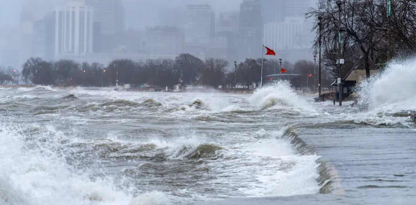
In January 2013, Lake Michigan reached its lowest water level on record. Seven years later, in the summer of 2020, it broke the opposite record with widespread flooding, eroded shorelines and closed lakeside roads.
The difference between the two water levels was nearly two metres. Lakes Superior, Erie and Ontario had the same reversal within a few months of each other. Almost no one saw it coming.
These shifts build over months, through a combination of rain, snow, evaporation and human decisions. Unravelling this complex interplay of factors is one of the most persistent and important challenges in the field of hydrology today. Water levels control the depth of harbours, the stability of shorelines, drinking water intakes and the survival of coastal wetlands.
Our analysis of 40 years of fluctuations, which we published in the Science of the Total Environment journal, tackles this issue using tools from the field of artificial intelligence (AI).
The goal was not just to predict water levels, but to use AI to explain what causes them to vary.
A machine that predicts but doesn’t explain
For decades, the hydrologic balance was treated like a bank account: you add up the deposits (rain, runoff, inflows from upstream), subtract the withdrawals (evaporation, outflows), and the balance gives the water level. The approach is rigorous but requires extensive calibration and does not accurately capture unusual climate variations.
(Unsplash/Erin Testone)
Machine learning does the opposite: it is fed 40 years of data and uses an algorithm to identify patterns. An algorithm consists of a series of calculations that transforms the input numbers into an estimate of the water level and corrects itself if it deviates from actual measurements.
This improves accuracy, but the results do not include any explanation, which is necessary if the information is to be used to manage a dam or map a flood zone.
Making the machine accountable
To address this issue, we trained eight algorithms on the monthly water levels of Lakes Superior, Michigan, Erie, and Ontario, from 1982 to 2022. We incorporated nine variables into each algorithm, including air temperature and inflow rates.
Each variable was provided for the current month, as well as for one month earlier, two months earlier and up to six months prior. This allowed the model to link the water level in June to the snowfall in January.
For the four best-performing algorithms, the error dropped to about a dozen centimetres, compared to 14 to 21 for the simplest models.
We then had the model account for its results using SHapley Additive exPlanations (SHAP) values, a technique from game theory that equitably distributes a team’s payoff among its players. In this case, it provides the contribution of each variable to the rise or fall in water level for a given month. In other words, we asked which factors contribute more to controlling the water level: air temperatures or inflow rates ?
But SHAP does not provide information on how long it takes for a signal to travel across a watershed.
So we use a second technique: variogram analysis of response surfaces (VARS). Instead of observing the model, we interfere with it — for example, by increasing runoff as an early snowmelt would. We measure the impact of this interference one month later, then six months later.
Together, SHAP and VARS identify the variables responsible for water levels and their time lags.

Author provided (no reuse)
January snow determines June water levels
The four lakes under study exhibit fundamental differences.
Lakes Superior and Michigan are large, slow-moving basins fed by snowmelt; their water levels depend on runoff and outflow. Lake Erie, which is shallow, depends on inflow from upstream via the Detroit River. Lake Ontario’s peculiarity is the significant impact of evaporation.
By applying the same method with the same variables, we obtained four different results regarding these characteristics.
The most striking result of our study pertained to time. We expected the influence of the variables to fade as we went further back in time, much like in a river where the impact of a downpour becomes invisible after a few days. The opposite turned out to be true: we saw that the influence actually increases after three or four months.
Our conclusion: a lake does not react to yesterday’s weather, but to the previous season’s. These lakes have significant inertia, and that’s good news for seasonal forecasting: part of what will determine next summer’s water level has already fallen in the form of snow.
The most unpredictable lake is the one we control
One lake defied our algorithms: Lake Ontario, with an error of more than 50 per cent higher than expected, due to human decisions.
The explanation lies in the fact that its water levels are regulated at the Moses-Saunders Power Dam, near Cornwall, Ont., according to operating rules that are adjusted on a day-to-day basis. In our model, each variable is summarized by a single monthly value. That means while the outflow from the dam is included in our data, the sequence of human decisions that produced it is lost in the overall calculation of the average.

THE CANADIAN PRESS/Heather Ainsworth
When more water is released to protect downstream residents — even though climate conditions did not require it — the model observes a drop in water level with no identifiable cause among its variables. It learns poorly and makes more mistakes.
This failure highlights a limitation between what the climate explains and what falls under the category of collective decisions. The solution is simple: we must provide these rules to the model, just as we do for rain or snow. That way, algorithms will stop making decisions based on erroneous data.
Beyond the Great Lakes
The applications of our approach also extend beyond the Great Lakes and surface waters.
In collaboration with Ouranos, the Québec consortium on regional climatology and climate change adaptation, we are now applying this approach to groundwater recharge in southern Québec, this time with a physics-based model.
Our contribution is the exception, as most AI models used in environmental applications are unable to explain themselves. Yet this is a non-negotiable requirement for a tool used to manage a dam or protect a source of drinking water.
An interpretable model is one that can be verified, discussed, and challenged. This is the prerequisite for AI to become a legitimate tool in water management.
The post “How AI could help predict and explain water levels in the Great Lakes” by Rahim Barzegar, Professeur, Université du Québec en Abitibi-Témiscamingue (UQAT) was published on 10/06/2026 by theconversation.com