Here is a depressing fact: over the coming decades, sea-level rise will continue to threaten ecosystems, communities and cities. No matter how quickly we reduce our carbon emissions, our past emissions commit us to ongoing sea-level rise, given the long-drawn-out impact of climate warming on the oceans and ice sheets. Just how bad it gets, however, will depend on our current and future emissions.
Even as we strive for net-zero emissions, we must prepare for devastating possibilities. But decision-makers face a major obstacle: the specific rate and magnitude of future sea-level rise is deeply uncertain. Different methods produce different projections of long-term sea-level rise. The problem of reconciling these different methods and projections has undermined planning to protect people from future sea-level rise.
In a recent paper published in Earth’s Future, we and our colleagues tackle this problem. We propose a new method that combines the complementary strengths of different sea-level projections. We use our method to quantify the uncertainty of future sea-level rise. It allows us to estimate a “very likely” range. “Very likely” means that there is a 9-in-10 chance (90% probability) that future sea-level rise will lie within this range, if our future emissions follow an assumed emissions scenario.
Under a low-emissions scenario that corresponds to approximately 2°C warming above pre-industrial levels, global sea level will “very likely” rise between 0.3 and 1.0 metres by the end of this century. Under a high-emissions scenario that corresponds to approximately 5°C warming, global sea level will “very likely” rise between 0.5 and 1.9 metres. Given that we will likely exceed 2°C warming, preparing for more than a metre of sea-level rise by 2100 is, therefore, necessary.
Benjamin P. Horton and Benjamin S. Grandey, CC BY-ND
The challenge of poorly understood processes
Our method builds on and complements the current reference document for many decision-makers: the Intergovernmental Panel on Climate Change’s Sixth Assessment Report IPCC 6AR. For five emissions scenarios, the IPCC published a most-likely “median” projection and a “likely” range. “Likely” means that there is at least a 2-in-3 chance (66% probability) of sea-level rise within this range. The “likely” range may understate the risk of more extreme possibilities, a weakness that can be addressed by a complementary “very likely” range. However, the IPCC did not estimate a “very likely” range because poorly understood ice sheet processes posed a challenge. We address this challenge, to provide decision-makers with more reliable estimates of future possibilities.
Many processes contribute to sea-level rise. Of particular importance are ice sheet processes in Greenland and Antarctica. Some of these ice sheet processes are well understood, but others less so. We have only a poor understanding of processes that could drive abrupt melting of ice, producing rapid sea-level rise.
Read more:
We used 1,000 historical photos to reconstruct Antarctic glaciers before a dramatic collapse
Climate models and ice sheet models, such as those used in the IPCC 6AR, are very good at simulating well-understood processes, such as thermal expansion of the ocean. The IPCC used model-based projections to derive a reliable median projection and “likely” range. However, these models often neglect poorly understood processes that could cause the ice sheets to melt much faster than we expect. To complement the models, experts can provide alternative projections based on their understanding of these processes. This is known as expert elicitation. Therefore, the use of models and expert elicitation can provide complementary sea-level projections, but planners have great difficulty deciding when and where to apply the two different approaches.
In our paper, we have developed a novel method to combine the complementary sea-level projections from models and experts. We use our method to quantify the full uncertainty range of future sea-level rise using a probability distribution. This is how we can estimate a “very likely” range and explore the question, “What high-end sea-level rise should we plan for?”
A high-end projection
To make informed judgements, decision-makers often need information about low-likelihood, high-cost possibilities. A high-end projection of sea-level rise is especially useful when planning long-lasting critical infrastructure that is vital for the functioning of society and the economy. A high-end projection can also highlight a catastrophic risk associated with unrestrained carbon dioxide emissions.
We define our high-end projection as the 95th percentile of the probability distribution under the high-emissions scenario. Our high-end projection of global sea-level rise is 1.9 metres by the end of this century.
Our high-end projection complements existing high-end projections of 21st century sea-level rise. The IPCC 6AR included two: 1.6 metres and 2.3 metres. Our projection of 1.9 metres falls between these two values.
In contrast to the IPCC 6AR, we estimate the probability of reaching the high-end projection. If our future emissions follow the high-emissions scenario, we estimate that the probability of reaching 1.9 metres by the end of this century is 5% (1 in 20). Considering that the high-emissions scenario is unlikely, our high-end projection can be interpreted as a worst-case outcome. We also estimate the probability of exceeding 1.0 metres by the end of this century: 16% (about 1 in 6) under the high-emissions scenario, and 4% (1 in 25) under the low-emissions scenario.
Reducing the uncertainty
Through climate science, we have learned much about the Earth’s climate system. However, we still have much more to discover. As our understanding improves, the uncertainty in sea-level rise should reduce. Therefore, the “very likely” range of future sea-level rise should narrow, due to the ongoing research efforts of the climate science community.
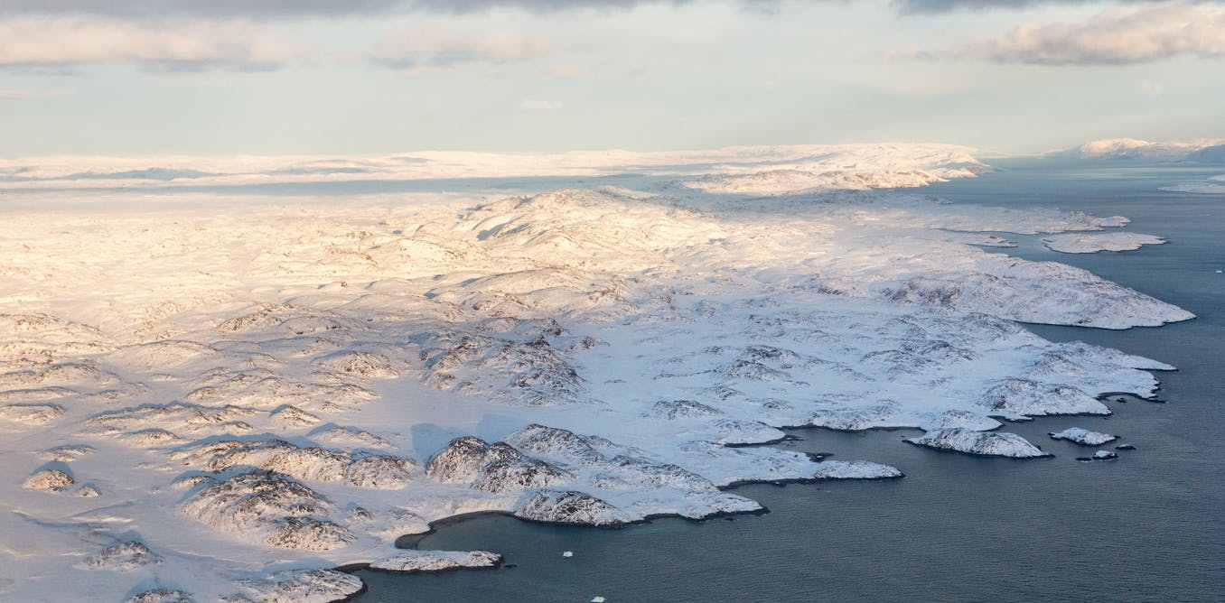
Benjamin P. Horton, Author provided (no reuse)
In the meantime, we need to identify potential solutions that can reduce coastal flood risk in ways that support the long-term resilience and sustainability of communities and the environment, and reduce the economic costs associated with flood damage. Alongside local adaptation, the best way to mitigate sea-level rise is to slow down climate change by implementing the commitments laid out in the Paris Agreement in 2015.
If we can limit warming to well below 2°C, consistent with the agreement, we estimate that the probability of reaching 1.9 metres by the end of the century shrinks to less than 0.2% (1 in 500). The more the world limits its greenhouse gas emissions, the lower the chance of triggering rapid ice loss from Greenland and Antarctica, and the safer we will be.
This research is supported by the National Research Foundation, Singapore, and National Environment Agency, Singapore under the National Sea Level Programme Funding Initiative (Award No. USS-IF-2020-3) and Ministry of Education, Singapore, under its AcRF Tier 3 Award MOE2019-T3-1-004.

Created in 2007 to help accelerate and share scientific knowledge on key societal issues, the Axa Research Fund has supported nearly 700 projects around the world conducted by researchers in 38 countries. To learn more, visit the website of the Axa Research Fund or follow @AXAResearchFund on X.
The post “a new method to estimate the probability of different outcomes – including a worst case” by Benjamin P. Horton, Director of the Earth Observatory of Singapore, Nanyang Technological University was published on 02/23/2025 by theconversation.com