This article is part of our exclusive IEEE Journal Watch series in partnership with IEEE Xplore.
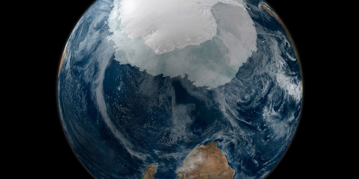
The ice covering Earth’s polar regions has a profound influence over the planet’s climate, which is why scientists have keenly monitored the planet’s ice sheets via satellite imaging for decades. Yet these remote sensing methods have traditionally provided a general understanding of the extent of ice cover, but few additional details about the nature of the ice itself. Fortunately, new insights are emerging thanks to data from a Chinese satellite, called Fengyun-3E (FY-3E), which is helping scientists better determine whether Antarctic ice has formed over the past year, or several years.
The extent of sea ice in the Antarctic was increasing up until 2014, at which point it began rapidly decreasing. Antarctic ice that does form can survive the summer and endure for years, but it is subjected to particularly harsh and dynamic factors, such as off-shore winds and strong circumpolar currents. Therefore, Antarctic ice is more dynamic and difficult to classify compared to ice in the North Pole.
The launch of the FY-3E satellite in 2021 offered a unique means to assess Antarctic ice in more detail. Onboard the early-morning-orbit meteorological satellite are numerous tools, including WindRAD, an active dual-frequency, dual-polarization scatterometer—which, as the name implies, measures the scattering rates and properties of radar waves as they propagate through the atmosphere. FY-3E is also able to monitor the Earth’s surface with a rotating fan-beam conical scanning mode, which can pick up wind vector patterns over the surface of oceans and sea ice properties over the poles.
Xiaochun Zhai, an associate professor with the National Satellite Meteorological Center at the China Meteorological Administration, in Beijing is helping to analyze the data from WindRAD. “Four feature parameters derived from FY-3E WindRAD orbital observation can not only distinguish between sea ice and water, but also further distinguish between first-year ice and multi-year ice in the Antarctic,” she explains.
In a study published last month in IEEE Geoscience and Remote Sensing Letters, Zhai’s team devised a way to use WindRAD data to infer Antarctic sea ice type. They compared data from WindRAD to the only operational sea ice type products released by EUMETSAT Ocean and Sea Ice Satellite Application Facility (OSI SAF), multi-year ice concentration products released by the University of Bremen’s Institute of Environmental Physics, and the ice chart by the Russian Arctic and Antarctic Research Institute (AARI). The results suggest that WindRAD can accurately distinguish between first-year Antarctic ice (sea ice of not more than one winter’s growth) and multi-year ice (survived at least one summer’s melt).
Zhai says there are multiple benefits to being able to monitor Antarctic ice in such detail. “The observation and analysis of sea ice types in the Antarctic…
Read full article: Satellite Tech Opens New Window on Antarctic

The post “Satellite Tech Opens New Window on Antarctic” by Michelle Hampson was published on 01/27/2024 by spectrum.ieee.org


