A powerful storm system that stalled over states from Texas to Ohio for several days in early April 2025 wreaked havoc across the region, with deadly tornadoes, mudslides and flooding as rivers rose. More than a foot of rain fell in several areas.
As a climate scientist who studies the water cycle, I often get questions about how extreme storms like these form and what climate change has to do with it. There’s a recipe for extreme storms, with two key ingredients.
Recipe for a storm
The essential conditions for storms to form with heavy downpours are moisture and atmospheric instability.
First, in order for a storm to develop, the air needs to contain enough moisture. That moisture comes from water evaporating off oceans, lakes and land, and from trees and other plants.
The amount of moisture the air can hold depends on its temperature. The higher the temperature, the more moisture air can hold, and the greater potential for heavy downpours. This is because at higher temperatures water molecules have more kinetic energy and therefore are more likely to exist in the vapor phase. The maximum amount of moisture possible in the air increases at about 7% per degree Celsius.
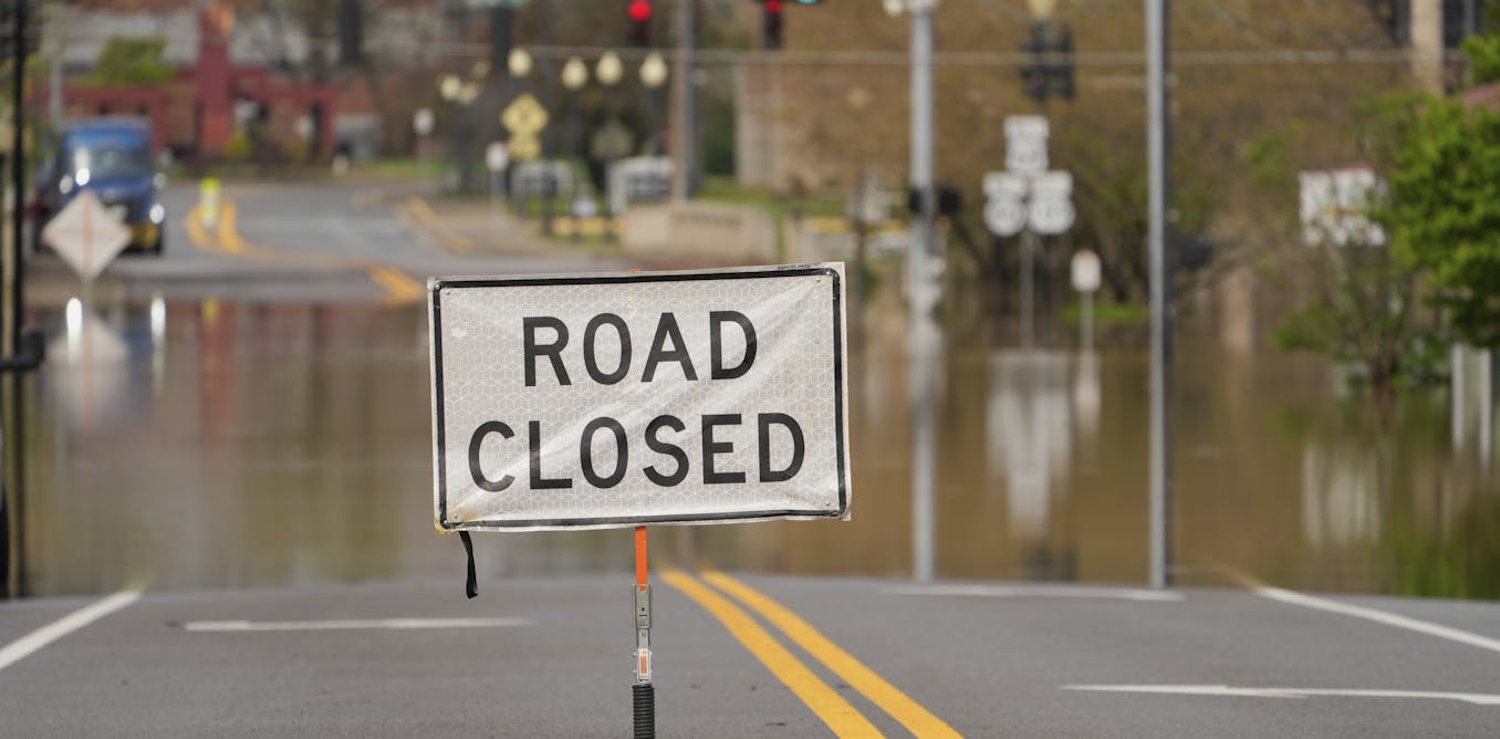
AP Photo/Jon Cherry
Warm air also supplies storm systems with more energy. When that vapor starts to condense into water or ice as it cools, it releases large amount of energy, known as latent heat. This additional energy fuels the storm system, leading to stronger winds and greater atmospheric instability.
That leads us to the second necessary condition for a storm: atmospheric instability.
Atmospheric instability has two components: rising air and wind shear, which is created as wind speed changes with height. The rising air, or updraft, is essential because air cools as it moves up, and as a result, water vapor condenses to form precipitation.
As the air cools at high altitudes, it starts to sink, forming a downdraft of cool and dry air on the edge of a storm system.
When there is little wind shear, the downdraft can suppress the updraft, and the storm system quickly dissipates as it exhausts the local moisture in the air. However, strong wind shear can tilt the storm system, so that the downdraft occurs at a different location, and the updraft of warm moist air can continue, supplying the storm with moisture and energy. This often leads to strong storm systems that can spawn tornadoes.
Extreme downpours hit the US
It is precisely a combination of these conditions that caused the prolonged, extensive precipitation that the Midwest and Southern states saw in early April.
The Midwest is prone to extreme storms, particularly during spring. Spring is a transition time when the cold and dry air mass from the Arctic, which dominates the region in winter, is gradually being pushed away by warm and moist air from the Gulf that dominates the region in summer.
This clash of air masses creates atmosphere instability at the boundary, where the warm and less dense air is pushed upward above the cold and denser air, creating precipitation.
A cold front forms when a cold air mass pushes away a warm air mass. A warm front forms when the warm air mass pushes to replace the cold air mass. A cold front usually moves faster than a warm front, but the speed is related to the temperature difference between the two air masses.
The warm conditions before the April storm system reduced the temperature difference between these cold and warm air masses, greatly reducing the speed of the frontal movement and allowing it to stall over states from Texas to Ohio.
The result was prolonged precipitation and repeated storms. The warm temperatures also led to high moisture content in the air masses, leading to more precipitation. In addition, strong wind shear led to a continuous supply of moisture into the storm systems, causing strong thunderstorms and dozens of tornadoes to form.
What global warming has to do with storms
As global temperatures rise, the warming air creates conditions that are more conducive to extreme precipitation.
The warmer air can mean more moisture, leading to wetter and stronger storms. And since most significant warming occurs near the surface, while the upper atmosphere is cooling, this can increase wind shear and the atmospheric instability that sets the stage for strong storms.
Polar regions are also warming two to three times as fast as the global average, reducing the temperature gradient between the poles and equator. That can weaken the global winds. Most of the weather systems in the continental U.S. are modulated by the polar jet stream, so a weaker jet stream can slow the movement of storms, creating conditions for prolonged precipitation events.
All of these create conditions that make extreme storms and flooding much more likely in the future.
The post “Why some storms brew up to extreme dimensions in the middle of America – and why it’s happening more often” by Shuang-Ye Wu, Professor of Geology and Environmental Geosciences, University of Dayton was published on 04/08/2025 by theconversation.com